The National Weather Service has issued winter weather advisories and watches for a wide swath of Utah on Tuesday and Wednesday — and commuters need to be on alert.
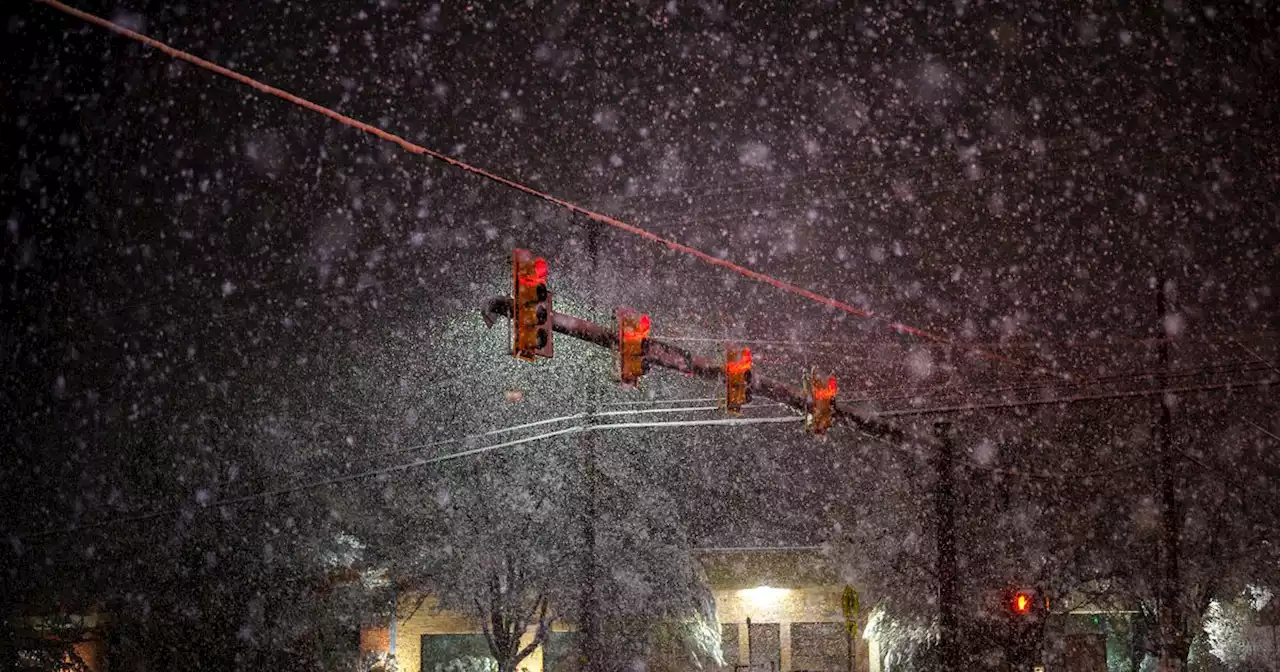
Snow falls on Salt Lake City on Saturday, March 5, 2022. Another storm is expect to hit the state on Tuesday and Wednesday.The National Weather Service has issued winter weather advisories and watches for a wide swath of Utah on Tuesday and Wednesday — and warning commuters to be on alert.
• Salt Lake Valley, Utah Valley, Tooele Valley and Rush Valley — including Salt Lake City, West Jordan, Sandy, Tooele, Grantsville, Vernon, Provo, Payson and areas in between — from 5 p.m. Tuesday until 5 p.m. Wednesday. Snow accumulations of 2-6 inches are expected, with higher amounts along the benches.• Eastern Box Elder County, northern Wasatch Front and the Cache Valley, including the cities of Brigham City, Snowville, Ogden, Bountiful, Logan, and Smithfield, from 5 p.m. Tuesday until 11 a.
• Wasatch Back, including the cities of Huntsville, Park City and Heber City, from 11 a.m. Tuesday until 11 p.m. Wednesday. Total snow accumulations of 4-10 inches are expected, with locally higher amounts. • A warning remains in effect in the Wasatch Mountains north of Interstate 80 until 5 p.m. Wednesday. Heavy snow — 10-20 inches — is expected.