Terrestrial LiDAR for 3D imaging has matured in the last decade. LiDAR for sustainable space mapping is more complex. NuView intends to disrupt this market.
... [+]
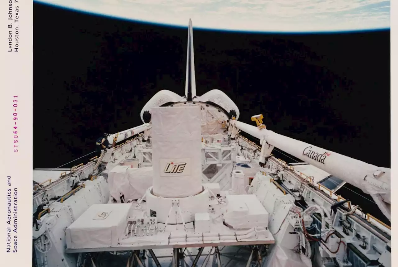
Nuview aims to leverage the increasing maturity of terrestrial and aerial LiDAR in developing low-cost, low SWaP satellite-mounted LiDAR.. Traditionally, space has been the domain of a handful of global space powers, and space missions have been run primarily by government space agencies for covert and scientific purposes. Mission launch costs are high, payloads are bulky and expensive, and time frames from funding to launch are long .
The proprietary flash LiDAR design uses lasers in the ~1 um wavelength and an array of SPADs . The depth resolution is < 1 m , and the angular resolution is ~1.5 m. Onboard processing and compression algorithms minimize data storage and transmission overhead.
Brasil Últimas Notícias, Brasil Manchetes
Similar News:Você também pode ler notícias semelhantes a esta que coletamos de outras fontes de notícias.
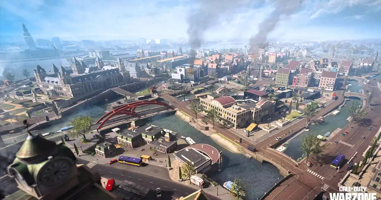 Warzone devs share the secrets of the battle royale's best map | Digital TrendsThere's a reason why Warzone's Vondel map flows so well. Here's what makes this map tick, according to Beenox developers.
Consulte Mais informação »
 New wave of antisemitic flyers on Danville trail adds to hate-crime ‘heat map’Just this past week, flyers were distributed all across California — including Amador, Marin, Calaveras and San Diego counties.
Consulte Mais informação »
 See where SF will lower the speed limit by 5 mphSee where you'll need to keep your foot off the gas.
Consulte Mais informação »
 Bill to create real-time bike map for NYC expected to get a Council vote ThursdayThe measure, sponsored by Councilmember Carlina Rivera, would show construction, obstacles and alternative bike routes in real time.
Consulte Mais informação »
 Map: Where the Clayton Fire is burning in hills near San JoseNo evacuation orders or warnings were issued, though the fire approached homes near the GrandView Restaurant.
Consulte Mais informação »
 URBN and Drexel take on fashion industry barriers by offering free tuition and paid work to some studentsDaily News | URBN and Drexel take on fashion industry barriers by offering free tuition and paid work to some students
Consulte Mais informação »