Our stretch of First Alert Weather Days continues Wednesday - and Wednesday is likely going to be worse than what we saw Monday and Tuesday.
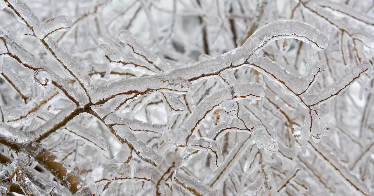
Sleet was the main precipitation we saw on Tuesday. And while the sleet certainly caused issued for us, it actually is slightly easier to travel on because the pellets provide a little bit of traction – certainly when compared to ice. The problem with Wednesday's forecast is the main precip we are expecting is freezing rain, aka ice accumulations.In fact, an Ice Storm Warning is going into effect Wednesday morning for parts of North Texas and will continue into Thursday morning.
Not only will this lead to dangerous travel conditions on the roads, but the ice accumulation will likely lead to power outages. The ice will accumulate on tree branches, causing the branches to sag and break and impact the power lines.On and off patchy freezing rain and freezing drizzle are expected overnight and into Wednesday morning, but by midday we are expecting widespread freezing rain to overtake the area.
Brasil Últimas Notícias, Brasil Manchetes
Similar News:Você também pode ler notícias semelhantes a esta que coletamos de outras fontes de notícias.
 Freezing rain covers most of North Texas on TuesdayPockets of freezing drizzle and freezing rain continue across North Texas Monday night but the coverage will increase in our overnight hours toward daybreak.
Consulte Mais informação »
 First Alert Weather Day: North Texas under threat of freezing rain, sleetFirst Alert Weather Days have been called Monday through Wednesday due to the threat of freezing rain and sleet.
Consulte Mais informação »